Mapping malaria risks by drone webinar: studies from Malaysia Tanzania and Peru
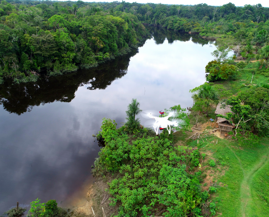
Malaria control programmes rely on interventions targeting mosquito-breeding sites to reduce mosquito populations and malaria transmission. These approaches require precisely locating the water bodies and potential breeding sites. Low-cost drones represent a new potential source of data for mapping land use and identifying breeding sites.
This webinar will present three case-studies using drones for malaria control and risk mapping in South America, Southeast Asia and sub-Saharan Africa and will explore the use of different sensors and analytical approaches to identify suitable water bodies for anopheline larvae.
This event will include short presentations from each speaker discussing on the framework of each case study. Presentations will be followed by an interactive discussion with the panelists and audience, addressing challenges and opportunities in the use of drones in malaria vector control programs in different ecological settings.
Speakers:
- Kim Fornace, LSHTM
- Andy Hardy, Aberystwyth University
- Gabriel Carrasco, University of California, San Diego, USA
Please note that the time listed is Greenwich Mean Time (GMT)
Admission
Contact