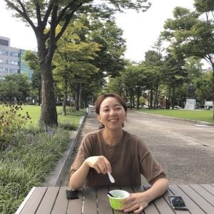
My research uses surveillance data and geospatial modelling to quantify the distribution and burden of vector-borne diseases. Currently my work covers three main areas:
- Surveillance data harmonisation and open data science: compiling and harmonising global surveillance data into open-access resources, including leading the development of the OpenDengue database (opendengue.org).
- Disease burden and long-term trends: reconstructing complete time series from incomplete surveillance records to estimate disease burden and track global trends towards the WHO 2030 dengue goals.
- Global risk mapping: mapping the risk of dengue, chikungunya, Zika and yellow fever using ecological niche models that link climate and environmental drivers to disease occurrence, account for surveillance bias.
I work closely with modellers, epidemiologists and public health agencies, including the WHO Global Arbovirus Initiative, to translate these data and maps into evidence for surveillance and control policy.
Affiliations
Department of Infectious Disease Epidemiology and Dynamics
Faculty of Epidemiology and Population Health
Centres
Centre for Mathematical Modelling of Infectious Diseases
Teaching
I teach on MSc modules and short courses in statistics, infectious disease modelling and spatial epidemiology.
Research
Research Area
Modelling
Epidemiology
GIS/Spatial analysis
Vector control
Disease and Health Conditions
Dengue
Zika
Yellow fever
Malaria
Selected Publications
Spatial nonparametric Bayesian Poisson hurdle model for analyzing zero-inflated tick data
2026
Journal of the Korean Statistical Society
Quantifying, Understanding, and Correcting for Delays in Routine Dengue Case Reporting in the Americas.
2026
The American journal of tropical medicine and hygiene